
The Devils Backbone trail
This trail is in the Cherokee National Forest, and is mostly ridden by the local river rats.
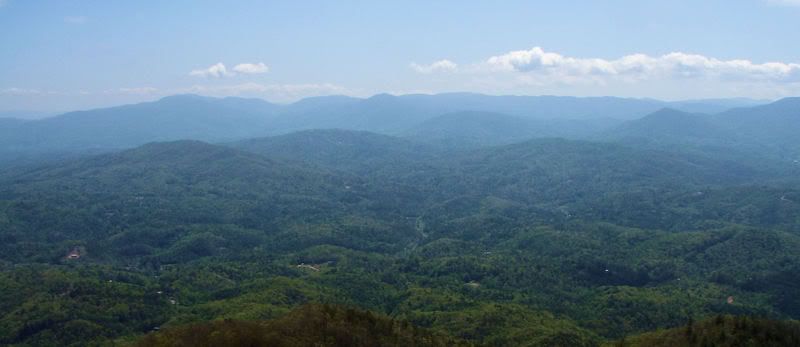
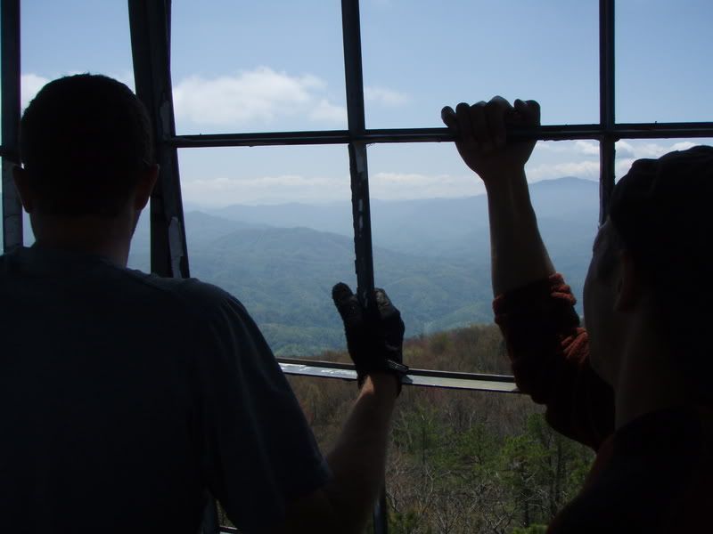
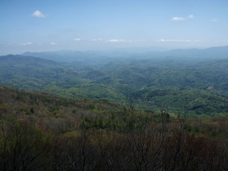
We stopped into Hartford, a river town along the Pigeon River of rafting guide companies. We hooked up a shuttle; by heading back onto I-40 to the Wilton Springs / Cosby exit and headed east on 73 about a mile, then hang right on Sweetwater Rd, then another right on Crum Hollow (Halls Top Rd.) which eventually turns into a gravel road and goes all the way to the top of Stone Mountain (Hall Top Mountain). There is a fire tower at the top. The singletrack is marked by a can of Spam. The top part is scrappy, rocky and leads through Rhododendron tunnels. There is a knob at the top of the first climb which has a 360 degree view, seen through the trees. This trail eventually comes out on a forest service road; head downhill through one switchback and keep an eye to the right, where the singletrack picks back up. The next section has steeps and jumps. Its a blast! The trail ends in the town of Hartford.
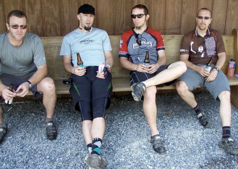
Our trustworthy guide:

No comments:
Post a Comment