Dennis Cove Recreation Area lies within the northern portion of Cherokee National Forest, near Hampton, TN. There are several trails in the area, including the Appalachian Trail. This is a popular area in the summer, because there are so many swimming holes.
On the day that we were there, fall was in full effect. It was a great day for a hike.
The water was probably low, but there are some deep crossings on Dennis Cove trail #39. We struggled crossing the creek carrying Macie across, and finally decided to turn around at the third crossing. So we never made it to Dennis Cove Falls.
The last town in Tennessee, on I-40 heading to North Carolina, is Hartford, TN. This town, in Cocke County, sits along the Pigeon River, aka the Dirty Bird. There are several whitewater guide services in the center of town. And the Cherokee National Forest makes up the hills visable from town. Just a little further are the Smoky Mountains and somewhere in all that forest is Martha Sundquist State Forest.
For the purposes of this entry, we are concerned with Cherokee National Forest. I am writing this to point out the two long descents that drop into town via the Devils Backbone and the Buzzards Roost.
For those shuttling these descents, the starting point is Hall Top Mountain.
The Hall Top fire tower / photo from the 1930's.
You've gotta get up to get down:
gravel climb on Cabbage Country
pushing up the Buzzards Roost
Hartford, TN and the Tennessee welcome center on I-40
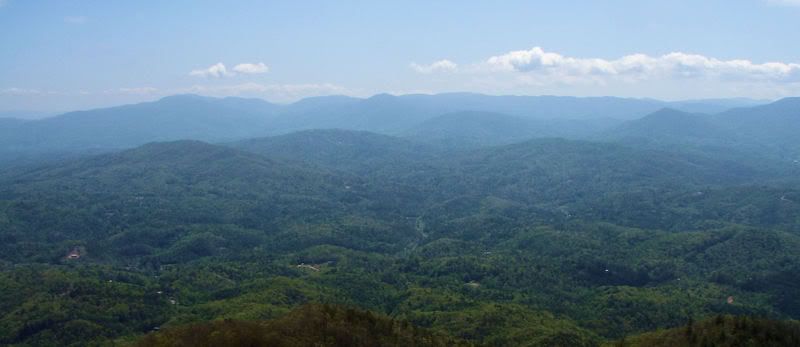
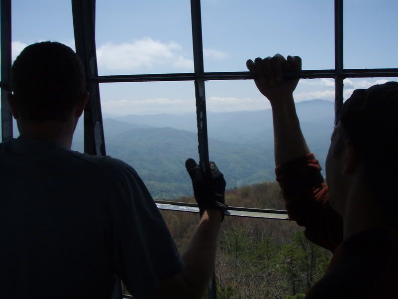
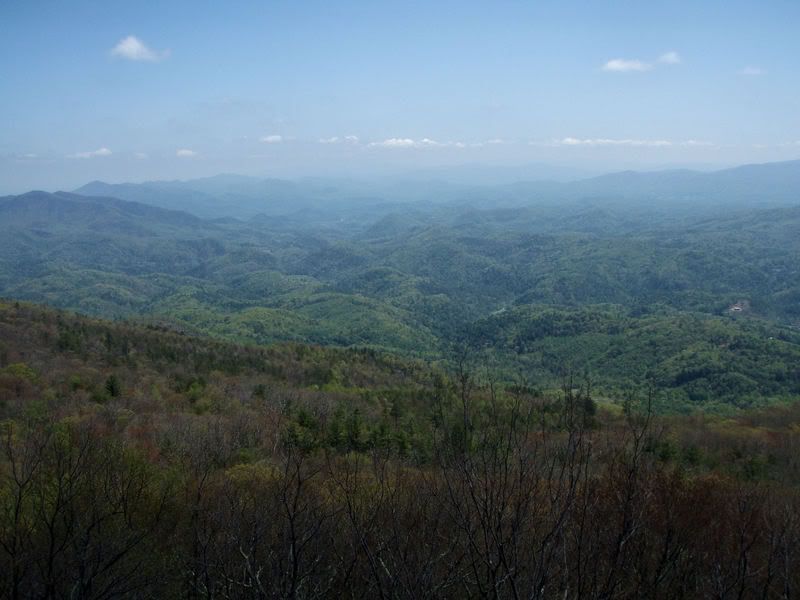
View from the fire tower
The Buzzards Roost
buzzard
Hartford on the ground level:
Randomly searching Youtube...
..... I discovered this video. At first, I thought it was a video from the 90's. The guys are riding old school bikes.
Of course it's better as a shuttle run, but Dunnigan lays out a good route to climb it:
From the Hartford exit (Exit 447), you can ride a 19 mile loop up to the Stone Mountain tower ( Hall Top). Park at Mill Creek road (1260') on your left, ride the pavement up Big Creek Road 3.7 miles to a left at Raven Branch and then a left at mile 4.1 and then a left at mile 4.5 up gravel Hall Top Road (FR 207). (The lower area is residential, and there are lots of dogs!@!) Climb 5 miles to the tower (3610'). Stone Mountain trail (#9), departs from the cliff area 0.2 miles before the tower and descends 2.5 miles to FS 110 which drops 3.5 miles along Mill Creek. Follow Mill Creek Rd 1.3 miles back to Big Creek Road.
This was the second year we have hiked on Roan Mountain with the rhododendron and azaleas in bloom, but my first fathers day. We left a heat wave in the Tennessee Valley for a bitter sweet cool day at high elevation. Temperatures were in the 50's and I'm sure it dropped into the 40's at the highest peaks.
On another note, we have discovered an Appalachian gem, a true cultural and culinary experience. Ridgewood Barbecue. An outstanding and unique barbecue sandwich. They just do the basics, and they do it exceptionally well.
The wait was an hour and a half at 5:00 in the afternoon, so we took ours to go, and had a picnic by the lake with a cooler of Fat Tire and Pale Ales. Then rinsed off the sauce from my face and hands in the lake. We stayed the night and went swimming with Macie. It was a great escape.
Sunday The Devils Backbone trail
This trail is in the Cherokee National Forest, and is mostly ridden by the local river rats.
We stopped into Hartford, a river town along the Pigeon River of rafting guide companies. We hooked up a shuttle; by heading back onto I-40 to the Wilton Springs / Cosby exit and headed east on 73 about a mile, then hang right on Sweetwater Rd, then another right on Crum Hollow (Halls Top Rd.) which eventually turns into a gravel road and goes all the way to the top of Stone Mountain (Hall Top Mountain). There is a fire tower at the top. The singletrack is marked by a can of Spam. The top part is scrappy, rocky and leads through Rhododendron tunnels. There is a knob at the top of the first climb which has a 360 degree view, seen through the trees. This trail eventually comes out on a forest service road; head downhill through one switchback and keep an eye to the right, where the singletrack picks back up. The next section has steeps and jumps. Its a blast! The trail ends in the town of Hartford.
Our trustworthy guide:
I never knew I was getting burnt by the sun. The cool mountain air and breeze kept me comfortable all day while my skin was roasting.
We spent most the day hiking around the balds of Roan Mountain. Almost Heaven.
We stopped in Jonesborough, the oldest town in TN, for dinner on the way back.