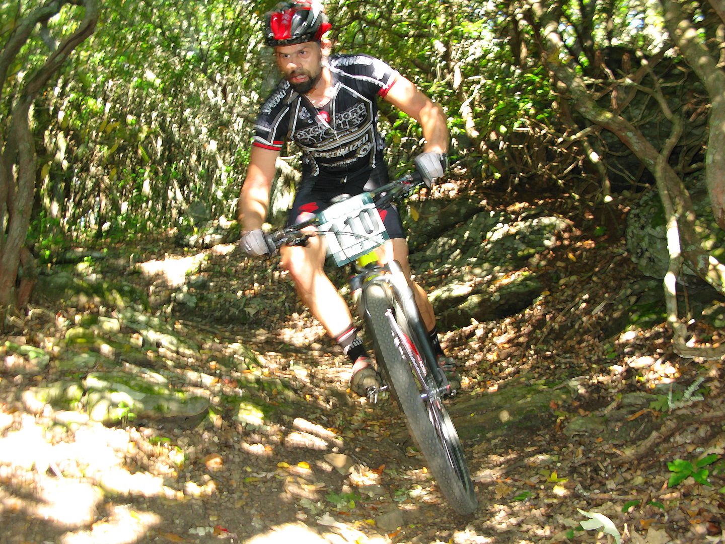
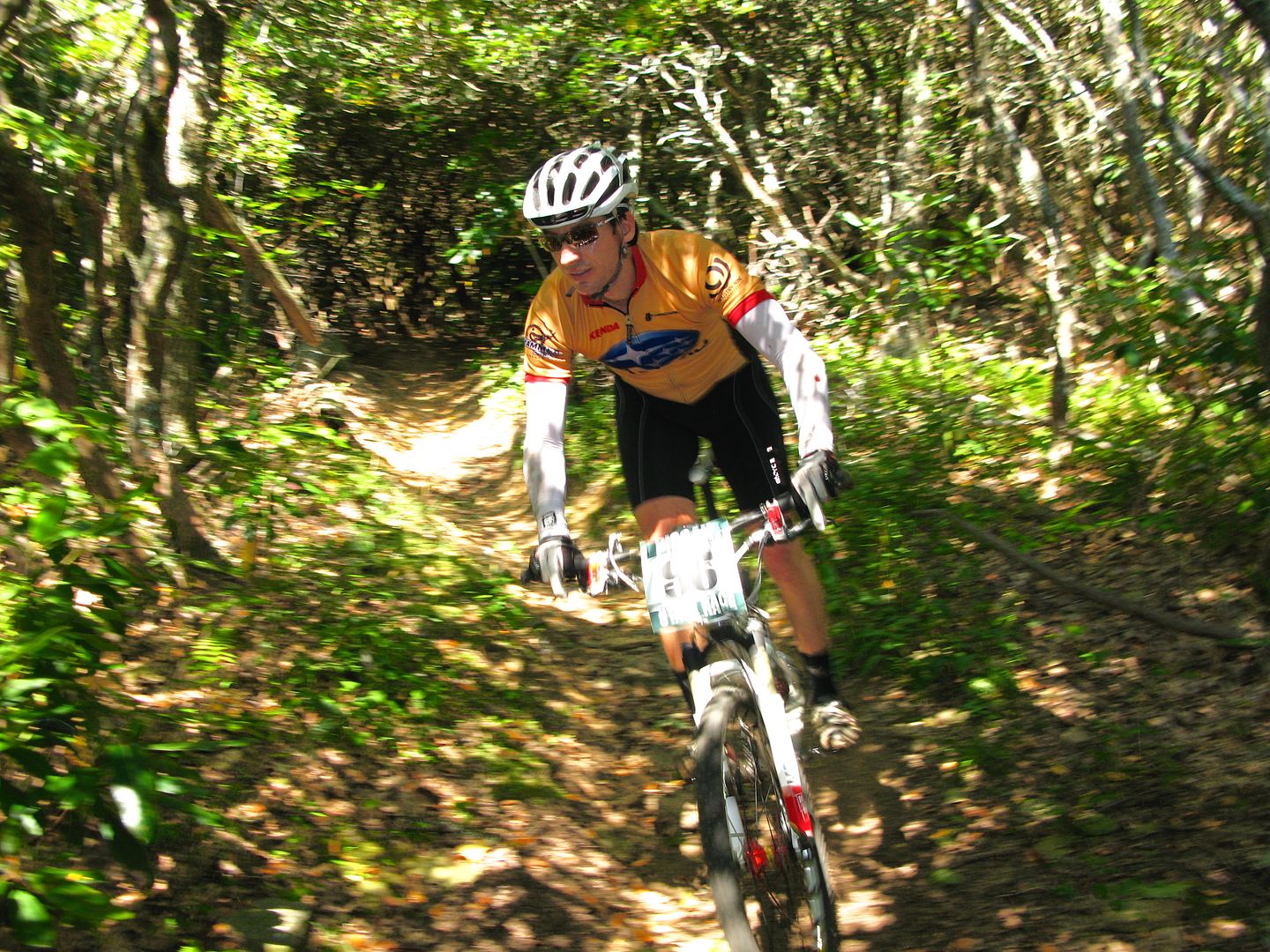
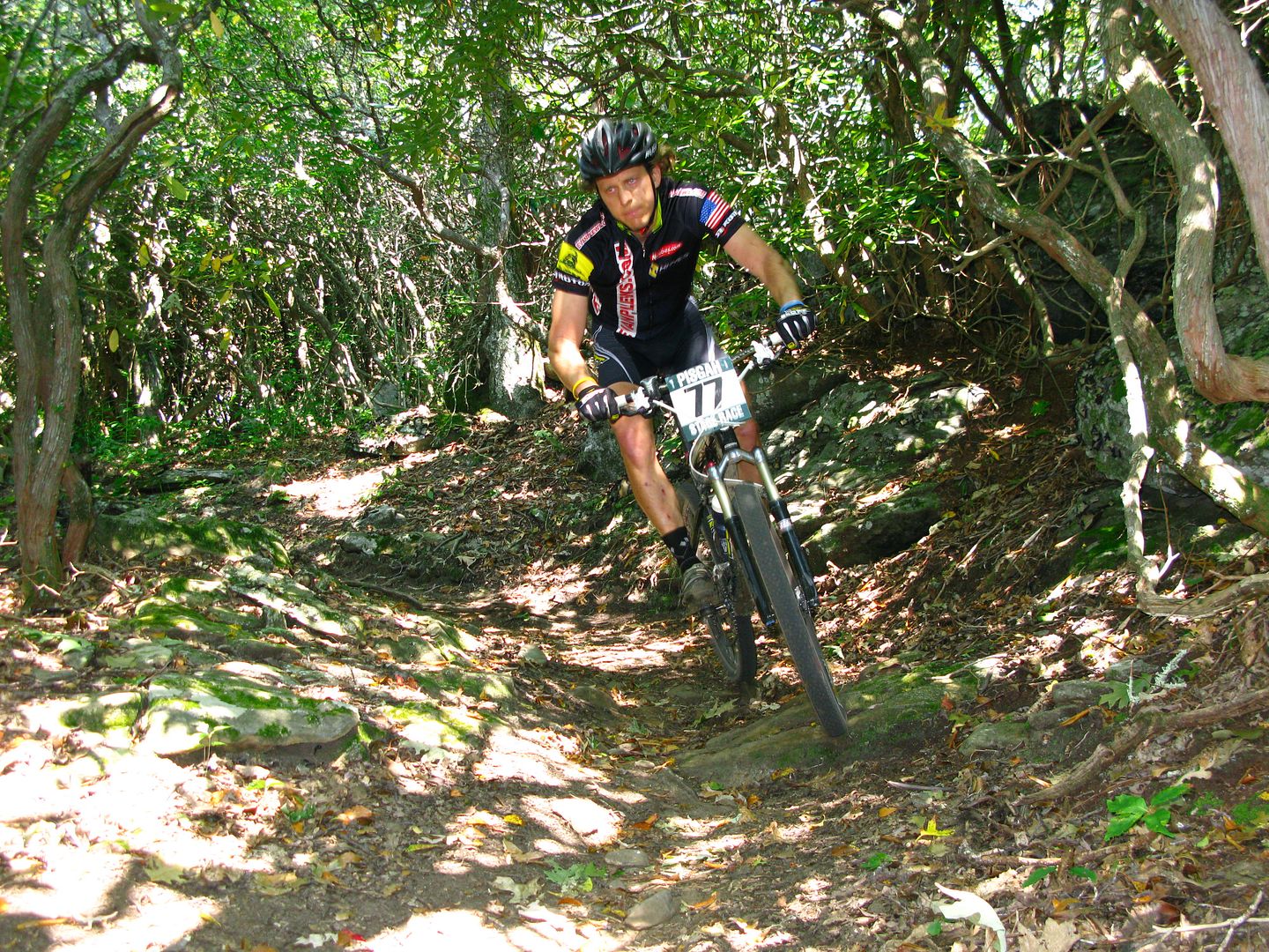
I'm another year older and wiser, and have a few more miles under my belt. The annual trip to the mountains of North Carolina on my birthday weekend couldn't have been more beautiful.
Like the yin and the yang, we experienced the duality of the mountains of this area. The rugged and steep ranges that run through Pisgah Forest provided high elevation riding and long descents while DuPont State Forest is comprised of more rounded and mellow terrain which makes for "Dukes of Hazard" style fast runs through flowing ridgeline trails.
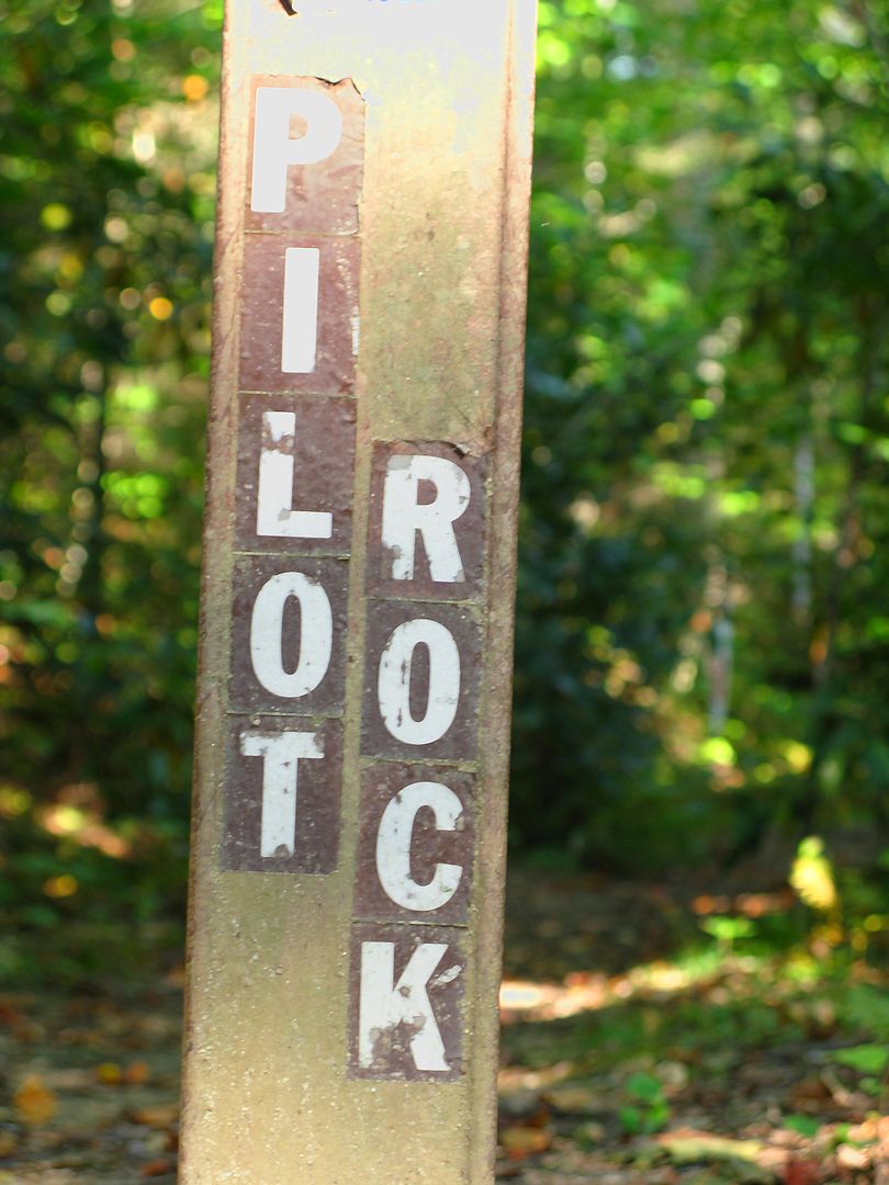
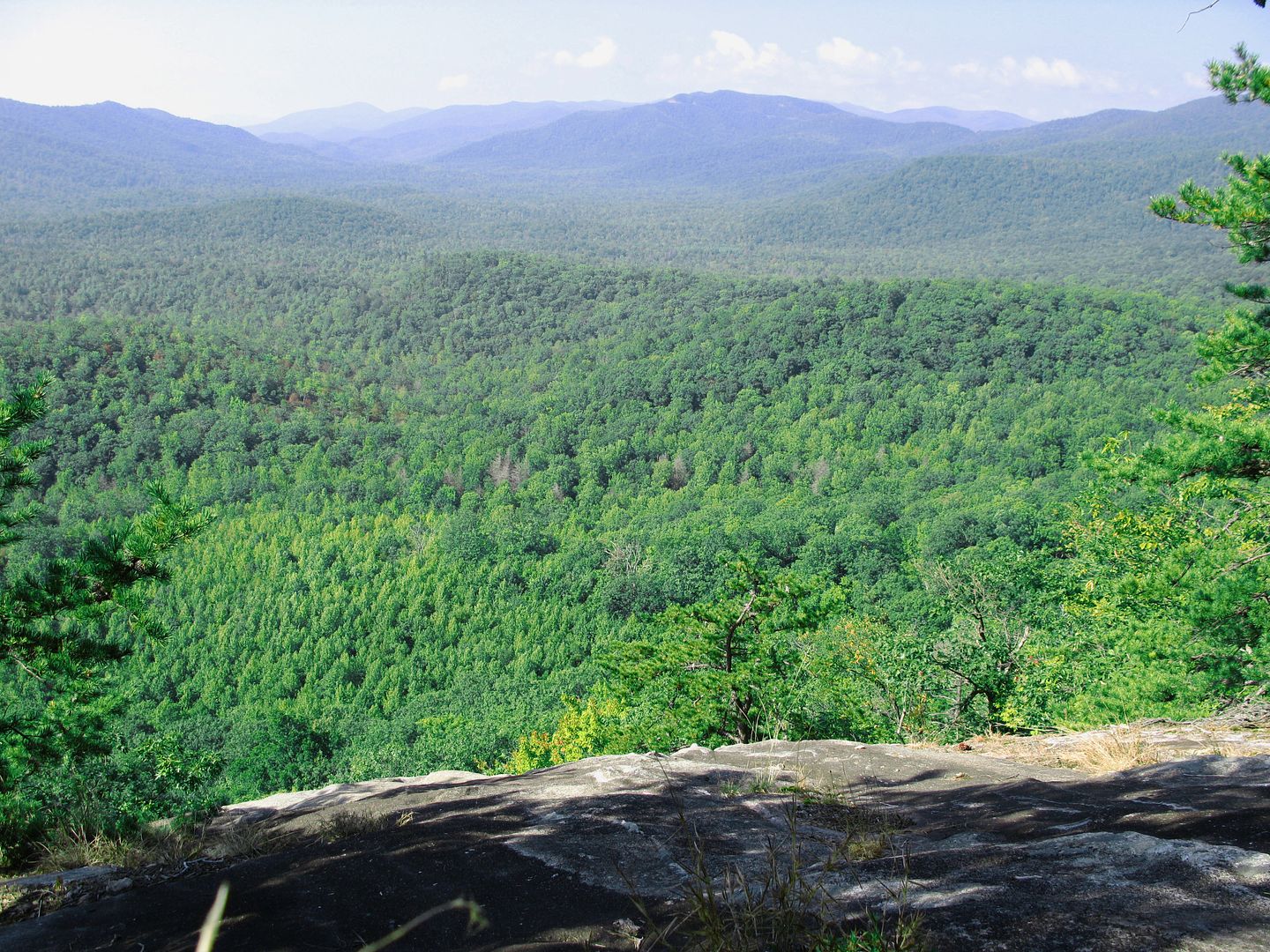
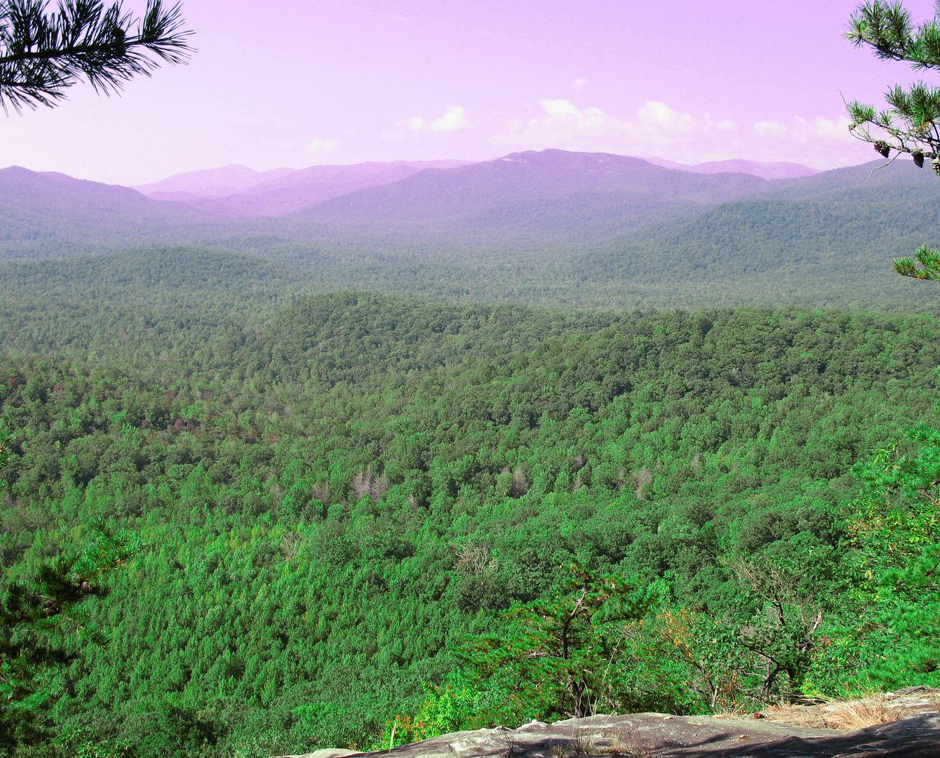
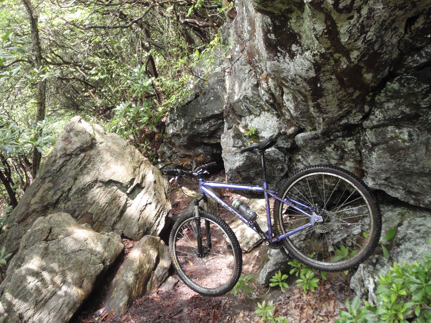
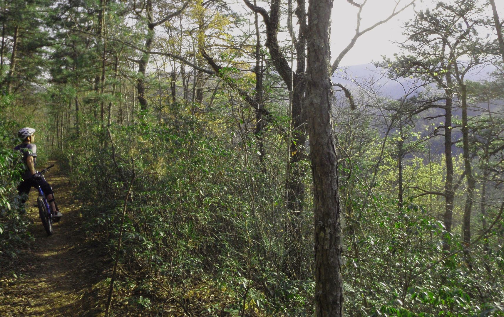
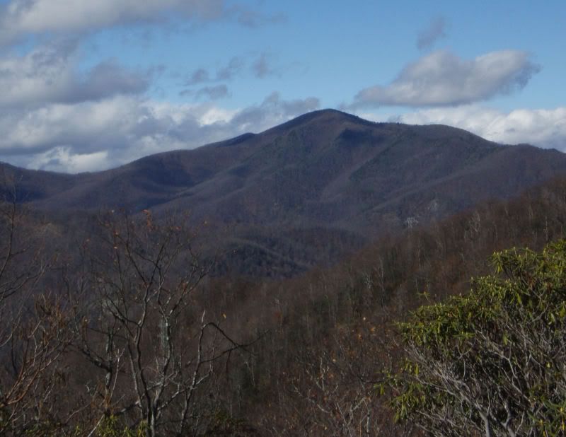
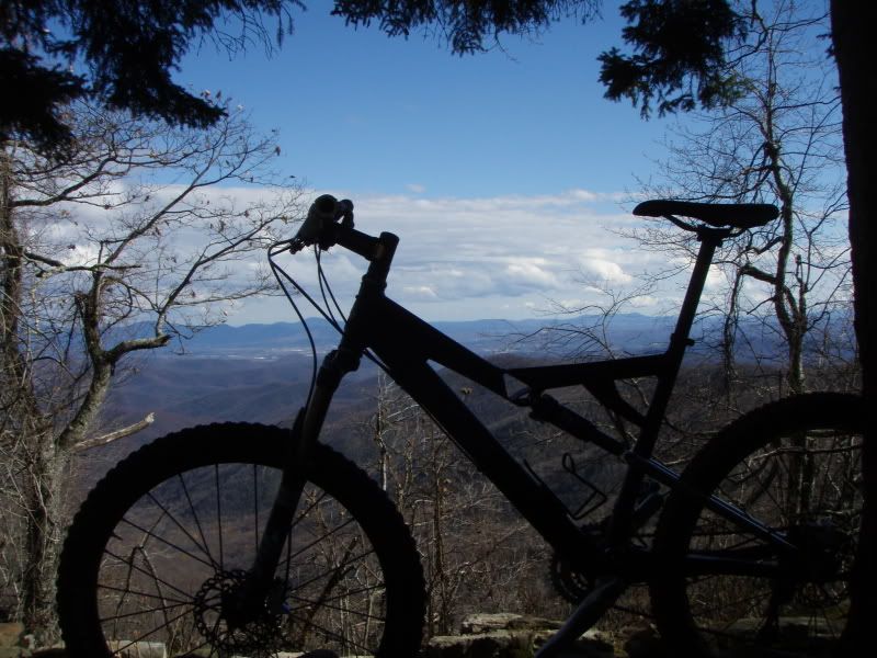
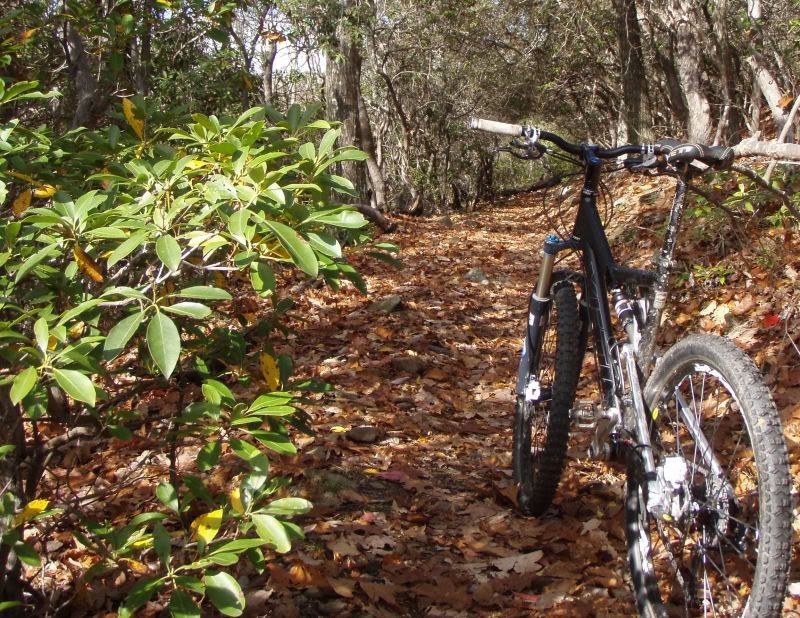
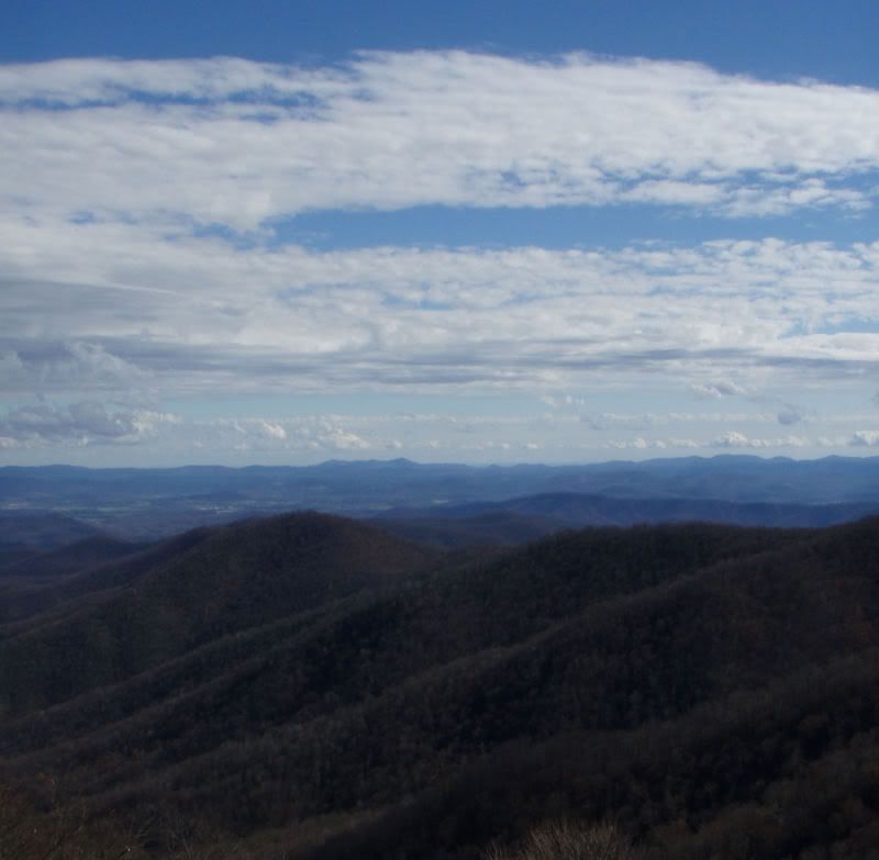
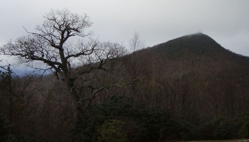
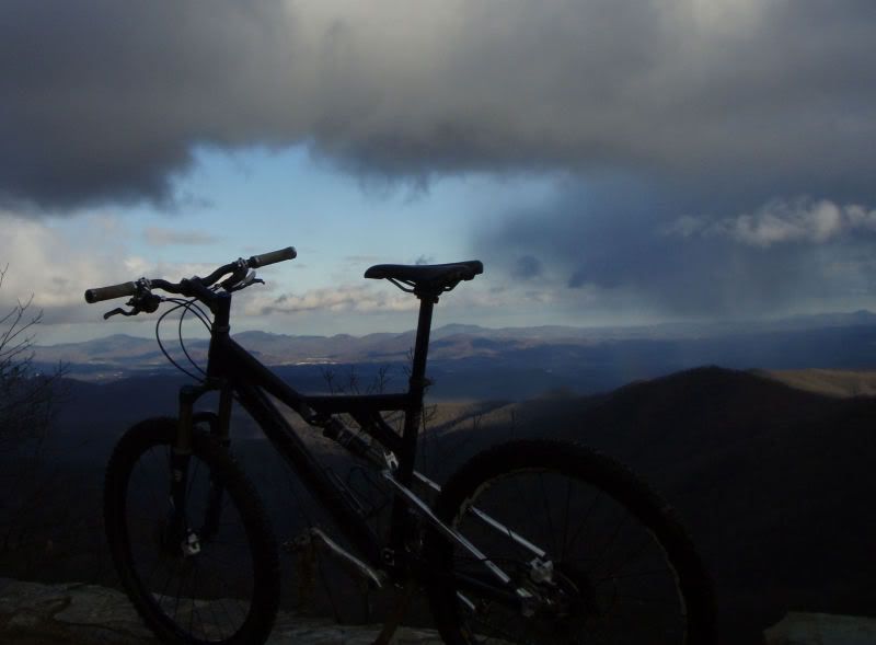
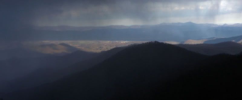
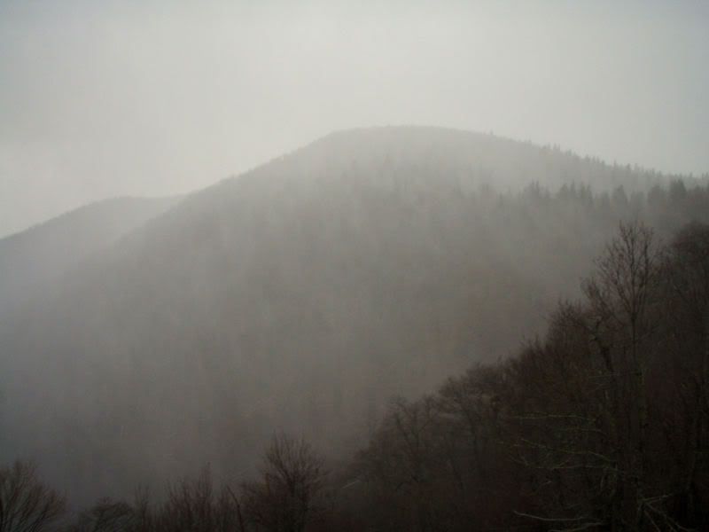
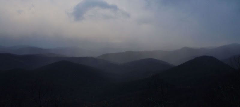
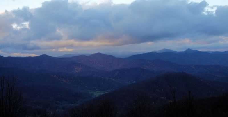
The Laurel Mountain RideWe headed out in the early AM fog, on Saturday morning, much like my cob-web-filled head after the previous nights birthday celebration at Union Jacks. The plan for the day was to do a ride up to the top of Laurel Mountain, so we parked on the forest service road at Yellow Gap. The trail from there is a gradual climb that winds its way up to above 4800'. We worked our way up slowly, making a steady pace that felt good on a clear day. The leaves were all down and we had views all around of the Blue Ridge Mountains. It was a juggling act to take in the scenes, yet negotiate the rocky terrain. In and out of Laurel tunnels, we spun our way up, reserving energy for the long downhill ahead. After an extended rest we made the final push to the summit, which was tree covered, yet still had the feel of a high mountain peak (where we turned onto Pilot Rock). Mid-way into the downhill was the expansive vista. We had a planned stop there, to take in the view and get a feel for just how insignificant we are in the scheme of things. The mountains felt huge all around us. We just sat there staring off the overlook, and all we could say was, “wow”.
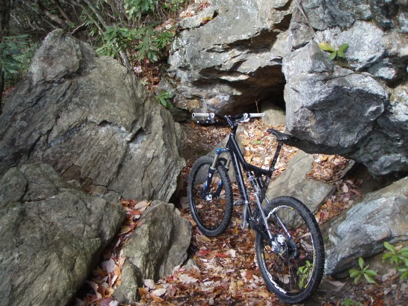
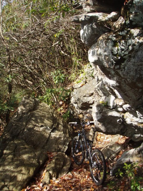
We got back on the bikes in the rock garden and continued blazing down the mountain dropping elevation fast and hard as we worked overtime picking split-second lines through boulders and switchbacks. I waited at the bottom of the 3.6 mile and 2,000' vertical descent, grinning ear to ear. We gathered back up and slapped high fives, we were off to find more trails.
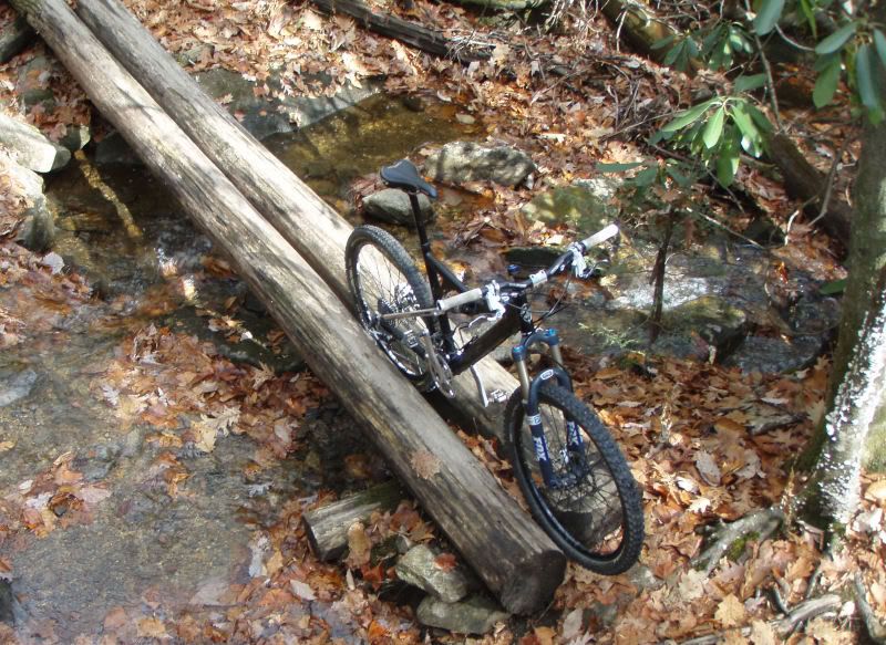
We hadn't made it far into Pilot Cove, when TJ snapped his derailleur hanger. The mechanical forced TJ to pull a solo hike back to the truck on a 4 or 5-mile stretch of steep gravel road. Chris and I continued up the Pilot Cove-Slate Rock trail, that winded along waterfalls and stream crossings...
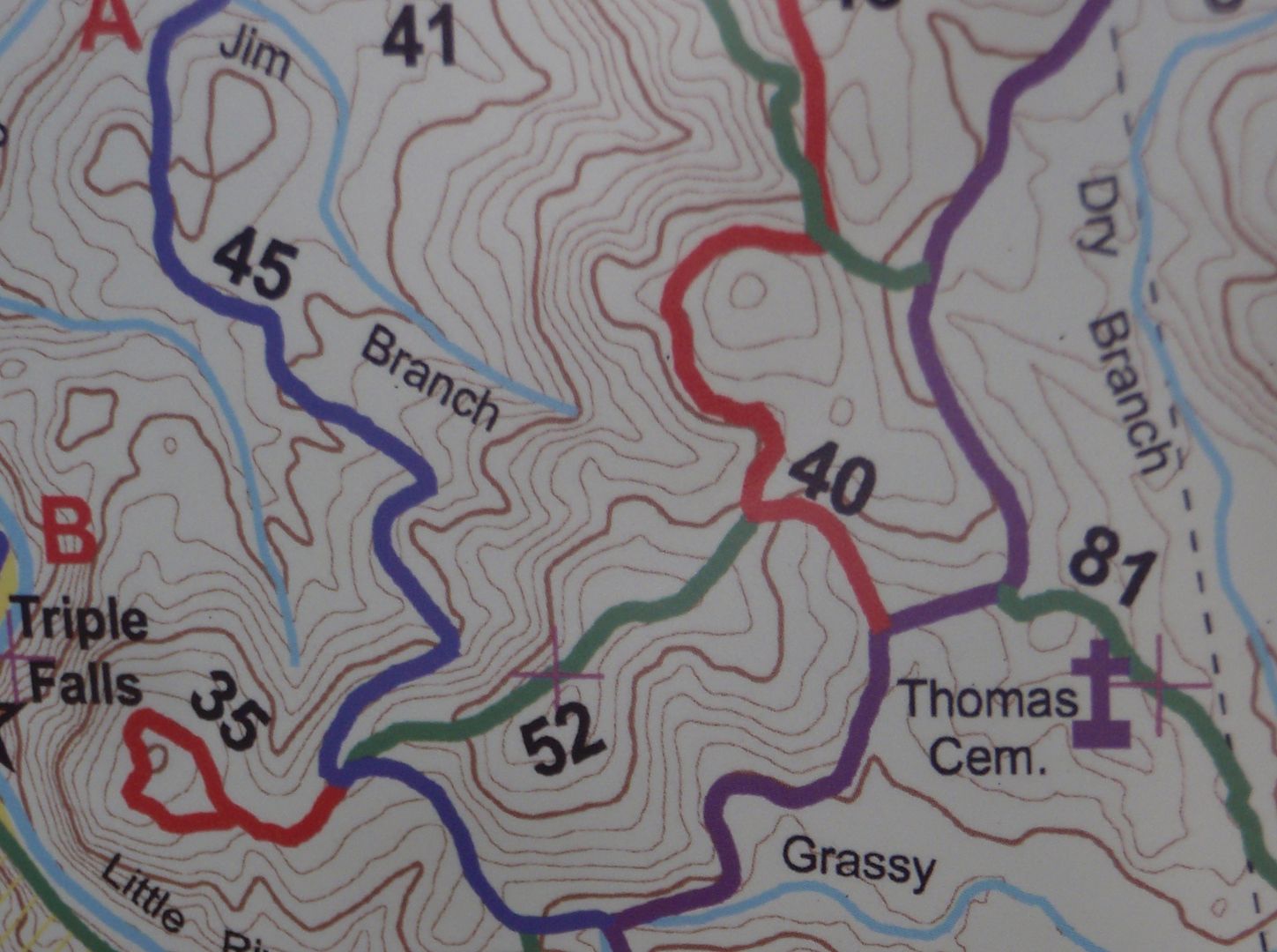
DuPont State Forest I was in charge of the map for this group of 5, so while Chris, TJ and myself waited on the group from Knoxville to arrive (to the trailhead), we climbed up Big Rock, enjoyed the view, then turned around and rolled down its slickrock and shelved terrain. We made it back into the lot just in time to meet the smaller than expected group of Ben and DJ. But five ended up being the magic number.
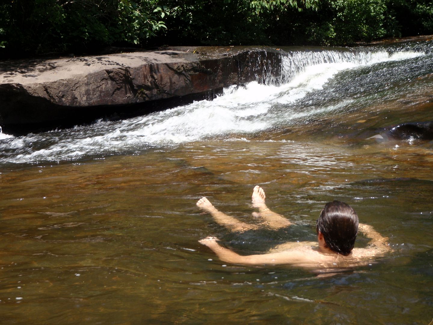
The collective headed back up to Cedar Rock Trail and down to Bridal Veil Falls, where we climbed down and hiked under the waterfall to the other side. It was intensely loud behind the sheet of water; it felt like I was dreaming this "last of the Mohicans-style wilderness adventure." When we emerged on the other side, the group was still a little uncertain about the route, because we had to climb through mountain laurel to get down along the rocky banks, which took us to the trail. We were all smiles again, after we were back on the trail. But, I may have been the only one that realized we still had to get back on the other side before the day was over.
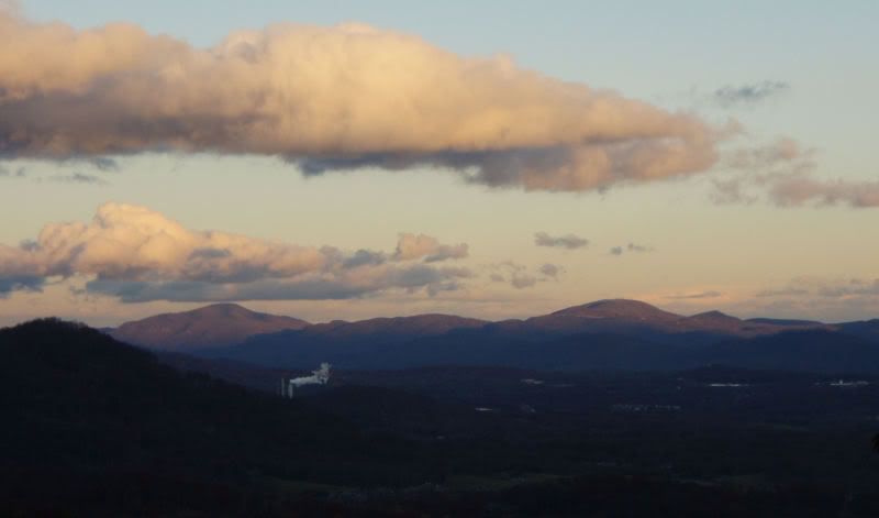
We climbed up to an old airstrip at 3,200', where we had a great view of the mountains all around us. The downhill from here flowed along the bench-cut contour trails, hitting jumps and berms like the "sheriff" was chasing. Spinning and grinning, we continued onto Reasonover Creek Trail and worked our way back up. I particularly enjoyed this trail because the leaves were down and it offered a glimpse into the topography of this park that I had not fully understood until seeing it on this day and in this way. The gentle rolling mountaintops and ridgelines jumped out with the taller mountains of Pisgah in the background. This is Shangri la.
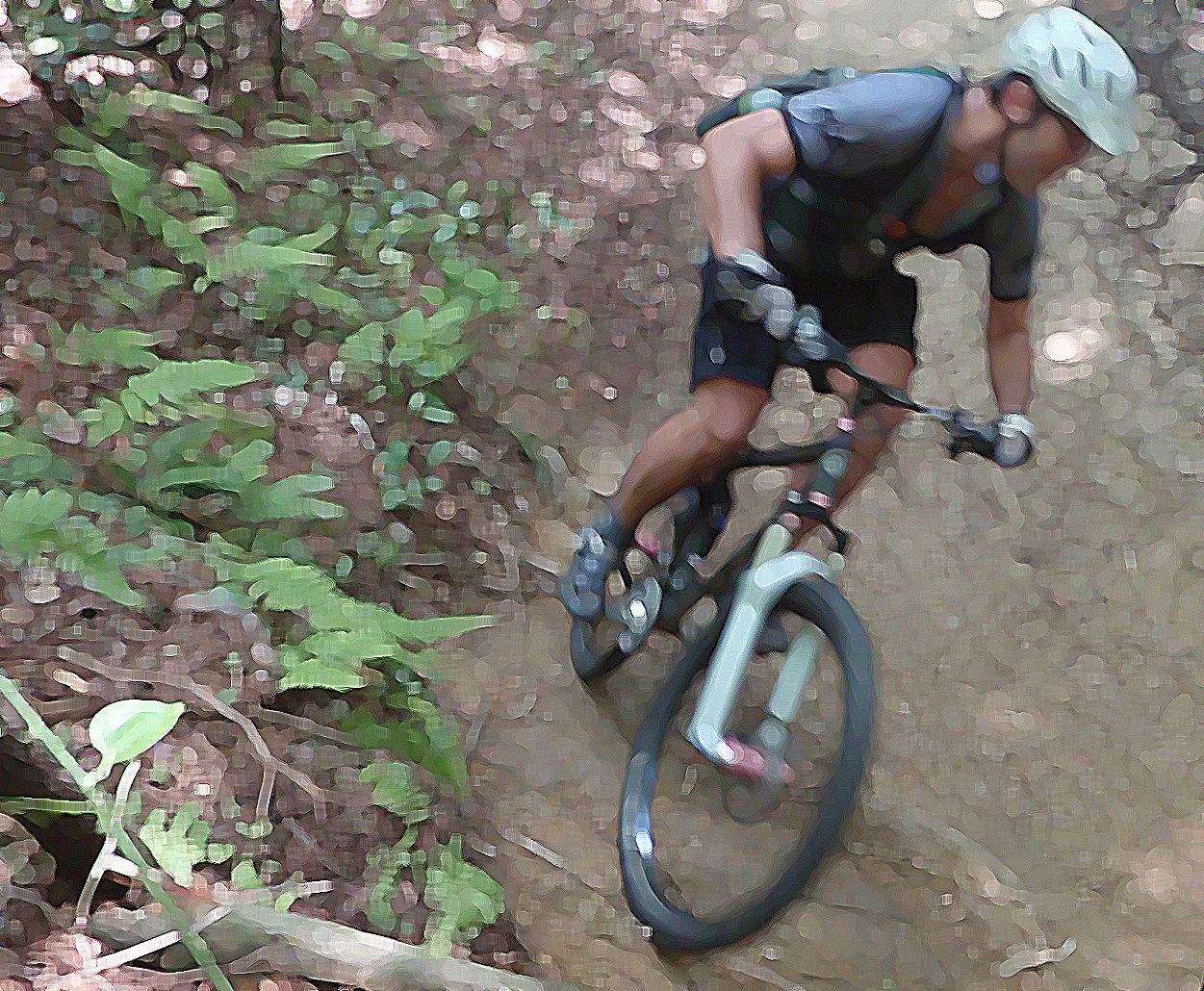
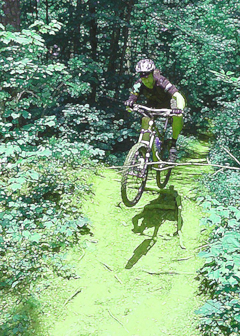
I felt like I couldn't run out of power, the harder I pushed, the more I had to give. I found the edge in many ways, and I pushed it right up to that limit. Shredding corners on leafy trails, finding perfection in the distortion.
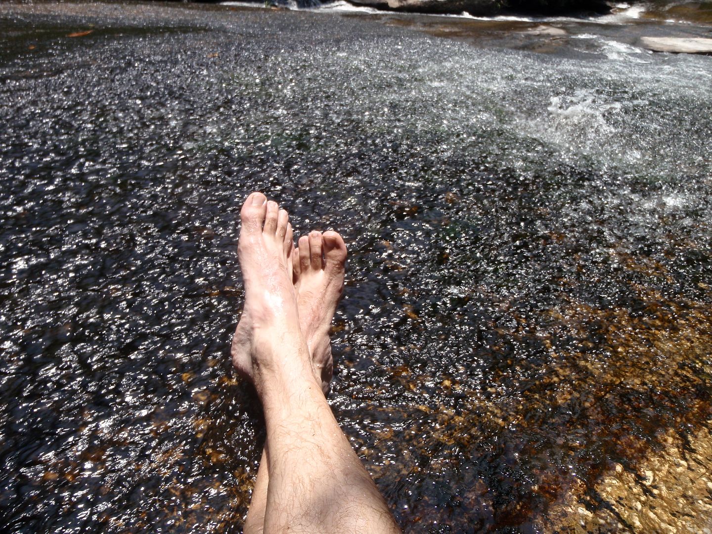
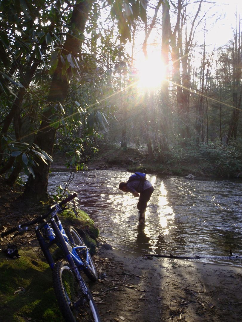
We climbed Mine Mountain, and following its descent was where we would have to forge the high flowing cold waters of the creek. The group protested and reluctantly crossed. It was a cold November day, but that was the only way through. So I went for it without thinking. With a bad case of clawfoot, I had lost feeling in my toes and my feet felt like hooves. It was an hour after the ride before I regained feeling.
The last trail left was Burnt Mountain, but Chris and TJ had had enough, so we split up. A year ago, the climb up Burnt Mountain would have sent me on a vision quest, summoning the inner strength to survive. But, I am in peak shape and therefore climbed to the top effortlessly. The final descent was the steepest and fastest of the day. We were boosting 4-foot drops hollering like Bo and Luke Duke.
My memories of the weekend resembles a rock video. Distorted and loud. Fast and fun. Legendary.